ENVIROMENTAL
MONITORING & MAPPING
Drones provide an excellent way to monitor the environmental health of a region and ensure that essential aspects are protected. With sophisticated sensors drones can monitor for areas of drought, the health of vegetation and key tabs on tree and animal populations.
Coastal Surveillance
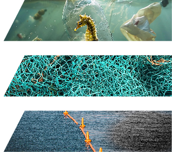
Long-range surveillance drones provide real-time intelligence beyond visual line of sight. Equipped with multiple sensors, including optical zoom, Infrared and LiDAR. These drones have a 16 – 20 hours endurance at altitudes up to 3,600 metres to provide autonomous surveillance of large areas.
Uses include:
– coral reef degradation
– marine mammal populations
– fisheries
– Oil slicks and other pollutants

o
Coastal Surveillance
Long-range surveillance drones provide real-time intelligence beyond visual line of sight. Equipped with multiple sensors, including optical zoom, Infrared and LiDAR. These drones have a 16 – 20 hours endurance at altitudes up to 3,600 metres to provide autonomous surveillance of large areas.
Uses include:
– coral reef degradation
– marine mammal populations
– fisheries
– Oil slicks and other pollutants

o
Land based Surveillance
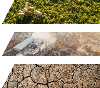
Long-range drones equipped with sophisticated sensors can provide a range of environmental services
– population and settlement monitoring and mapping
– forestry monitoring
– pollution monitoring,
– agricultural land management and encroachment on wildlife
– impact of climate change on environment
– flood pain mapping

o

